Datasets tagged "usgs":
DOQQ 2007 imagery
Digital orthophoto quarter quadrangle (DOQQ) color infrared imagery of Louisiana taken in 2007 at 1-meter resolution.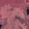
DOQQ 2005 imagery
Digital orthophoto quarter quadrangle (DOQQ) color infrared imagery of coastal Louisiana taken in 2005 at 1-meter resolution.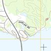
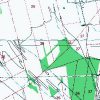
USGS Topo 2015
USGS topo maps covering the entire state of Louisiana.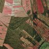
DOQQ 1998 imagery
Digital orthophoto quarter quadrangle (DOQQ) color infrared imagery of Louisiana taken in 1998 at 1-meter resolution.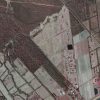
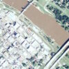
DOQQ 2004 imagery
Digital orthophoto quarter quadrangle (DOQQ) color infrared imagery of Louisiana taken in 2004 at 1-meter resolution.