
Digital raster graphic (DRG) sheets covering the entire state of Louisiana.
According to the USGS,
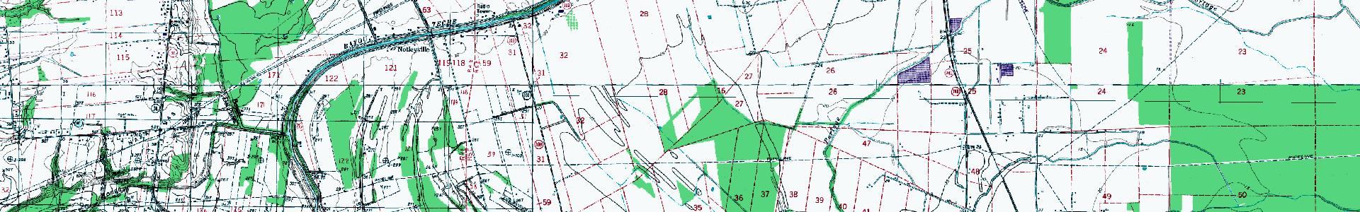
A DRG is a scanned image of a U.S. Geological Survey (USGS) standard series topographic map, including all map collar information. The image inside the map neatline is georeferenced to the surface of the earth and fit to the Universal Transverse Mercator projection. The horizontal positional accuracy and datum of the DRG matches the accuracy and datum of the source map. The map is scanned at a minimum resolution of 250 dots per inch.
The DRG dataset on Atlas includes an updated subset of images with a number of differences from the older set:
| Previous DRGs | Updated DRGs | |
|---|---|---|
| Collars (Marginallia) | removed | maintained |
| File format and Georeferencing | Geotiff but no accompanying tfw file | Geotiff with accompanying tfw file |
| Metadata | none | FGDC metadata present |
| Publication Dates | pre 1998 | post 1998 |
Metadata
Collection date: ~1998
Coverage: Statewide
Downloadable data format: TIFF
Metadata included with imagery
See the individual metadata files packaged with each scanned panel for full metadata (“updated” DRG scans only).
Map + Downloads
Individual DRG sheets can be located and downloaded from the Atlas DRG map.
FTP Bulk Download
To download files in bulk, connect to the Atlas DRG FTP site with software like WinSCP.
Web Services
The Atlas DRG web service provide a statewide mosaic of USGS topographic maps (DRG sheets).