GOHSEP 2010 dataset added
June 18, 2016
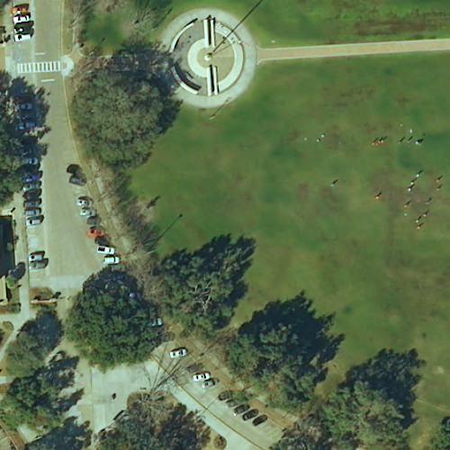
The GOHSEP 2010 imagery has been added to the new Atlas site as downloads and as a web service basemap. The imagery was provided to Atlas as individual parish mosaics with the boundary images clipped to exclude parts of the quad not contained with the parish boundary. Therefore, to get a complete image of a quad that intersects a parish border, the MrSid files from each parish sharing the same file name (USGS quad ID) need to be combined. The dataset on Atlas is hosted and provided “as is”, so please be aware that you will need to download that quad’s MrSid file for both parishes. On the map downloader, when you click a quad footprint, you will be given the download links for each parish. If you download in bulk using FTP, you’ll have to manually identify the fragmented border imagery.
 If you combine the images from different parishes in ArcMap, you can hide the clipped areas for a clean mosaic by going to the layer symbology and enabling the alpha channel as band 5.
The MrSid files total 1.37 TB. There is a map service available that can be added into ArcMap or your applications for an easy basemap of the state, without having to serve that 1.37 TB through your own service.
