
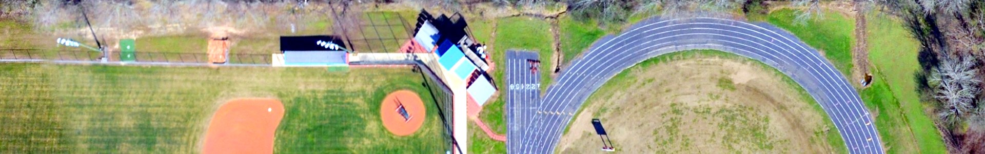
Three-inch imagery of the towns of Delhi, Mangham, Rayville, and Start, Richland Parish, Louisiana, taken in January 2017.
Metadata
Collection date: January 27 to January 29, 2017
Resolution: 3 inches
Coverage: the towns of Delhi, Mangham, Rayville, and Start, Richland Parish, Louisiana
Downloadable data format: MrSid
Additional metadata: richland_towns_3in_RPAO_2017_metadata.xml
Notes
This dataset contains three-inch orthoimagery of urban areas (towns) in Richland Parish, Louisiana. The aerial photographs were taken in January 2017, covering Delhi, Mangham, Rayville, and Start. The images are in MrSID MG2 format with three bands. The downloadable MrSid files are projected in NAD1983 State Plane Louisiana North FIPS 1701 (feet, WKID: 3451), while the web service has been projected to Web Mercator. The dataset was provided to Atlas by the Richland Parish Assessor’s Office, and is distributed by Atlas under a Creative Commons Attribution-ShareAlike license.