
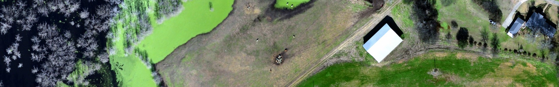
Six-inch orthoimagery of Richland Parish, Louisiana, taken in February-March 2016.
Metadata
Collection date: February 25 to March 21, 2016
Resolution: 6 inches
Coverage: Richland Parish, Louisiana
Downloadable data format: MrSid
Additional metadata: richland_parish_6in_RPAO_2016_metadata.xml
Notes
This dataset contains six-inch orthoimagery of Richland Parish, Louisiana. The aerial photographs were taken in late February to early March 2016, covering the entire parish. The images are in MrSID MG2 format with three bands. The downloadable MrSid files are projected in NAD1983 State Plane Louisiana North FIPS 1701 (feet, WKID: 3451), while the web service has been projected to Web Mercator. The dataset was provided to Atlas by the Richland Parish Assessor’s Office, and is distributed by Atlas under a Creative Commons Attribution-ShareAlike license.