
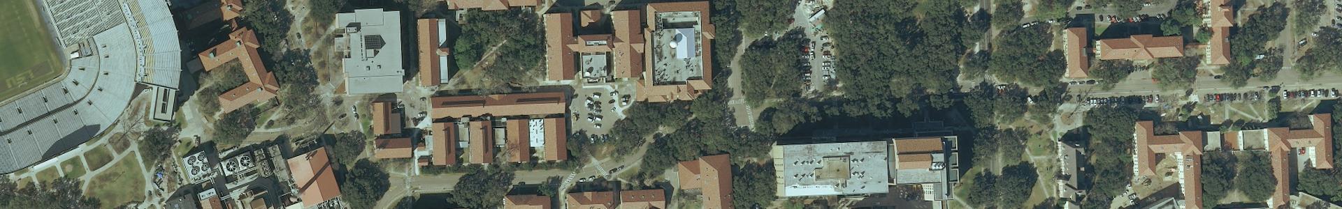
This dataset contains statewide Digital Orthophoto Quarter-Quarter Quadrangle (DOQQQ) imagery provided by the Louisiana Governor’s Office of Homeland Security and Emergency Preparedness (GOHSEP).
Metadata
Collection date: 2010
Resolution: 6 inches
CRS: NAD83 UTM Zone 15 (EPSG: 26915)
Coverage: Statewide
Downloadable data format: MrSid
Dataset readme.txt
Map + Downloads
Individual images can be located and downloaded from the Atlas GOHSEP 2010 map.
FTP Bulk Download
To download files in bulk, connect to the Atlas GOHSEP FTP site with software like WinSCP.
Web Services
The Atlas GOHSEP 2010 web service provides a statewide mosaic of the imagery projected in NAD83 UTM Zone 15 (26915).
Notes
The images are in MrSID MG4 format with 20:1 compression and 4 bands in RGB-IR sequence. Quadrangles intersecting parish boundaries are clipped to DOQ Quarter-Quarter tiles and therefore may not comprise a full 7.5 minute quadrangle. The quadrangles are labeled using the 7-character degree block numerical indexing system.
The seven digit USGS numeric code is derived from the latitude and longitude of the southeast corner of the one degree block of which the 7.5′ quadrangle is a part and a one-of-64 identifier for each 7.5′ tile within that block. The one-of-64 tile numbering scheme is for the 8 by 8 matrix of 7.5 minute tiles that compose a one degree block. The tile numbering scheme begins with 01 in the northwest corner of the block, proceeds left to right across the top row and each subsequent row, finally ending with the number 64 at the southeast corner of the block. The numeric code is composed of the lat/long part followed by the one-of-64 part of the code.
To prevent background overlap of adjacent images in ArcMap, activate the Alpha Channel and designate as band 5 in Layer Properties > Symbology.