
The Atlas Archive contains a collection of miscellaneous datasets that were posted to the Atlas website between ~1998 and ~2009
The original Atlas website was home to a variety of raster and vector GIS data for the state of Louisiana. Those files are now available in the Atlas Archive collection. The more frequently accessed datasets, such as the statewide lidar, are not included in this archive, as those are available as standalone datasets on the current Atlas website.
Metadata
Collection date: ~1998 through ~2009
Coverage: Statewide
Downloadable data format: ZIP
File Size: 14.1 GB
Download
atlas_archive.zip (14.1 GB)
Additional Information
For a full list of files included in the Atlas Archive, download the Atlas Archive Directory spreadsheet.
Below is a list of top-level folders in the Atlas Archive.
dem024k
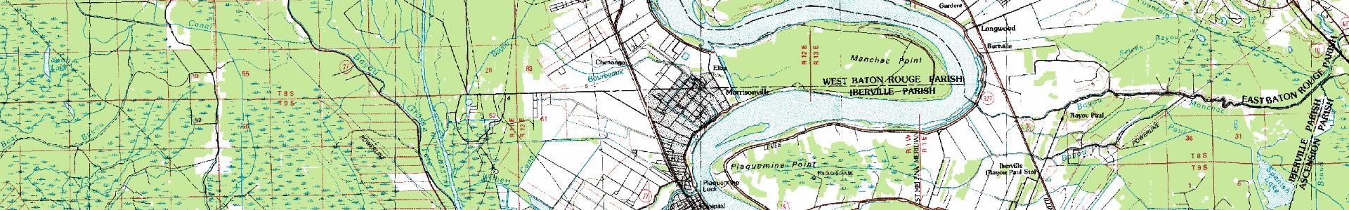
drg100k
drg24k
drg24kupdate
drg250k
esi
gap100k
lagis2007
lagiscdv2
lulc1978
lulc1978_as_e00
lulc1978_as_mdb
marinas
marshcd
noaa
nwi198824k
other
other_as_mdb
special
surgo
tiger1994_as_shp
tiger1997_as_mdb
tiger2000
tiger2006
tm
tm2002fusion_as_geotiff
tm2002pan_as_geotiff
tm2002rgb753_as_geotiff
lagiscdv2
tiger2000