About Atlas
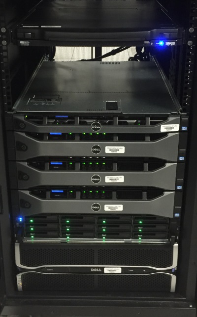
The objective of Atlas is to make Louisiana GIS data available to the public over the Internet. The Atlas website has its beginnings in work related to the Louisiana Coastal GIS Network. Initial funding for Atlas was provided by a Louisiana Education Quality Support Fund grant titled “A Statewide GIS” by DeWitt Braud et al. in the late 1990s. The original Atlas system was constructed and maintained by Farrell Jones. Equipment has been funded by Louisiana Board of Regents grants, most recently including a grant for 2015-16 to modernize Atlas’ hardware and website. The project is currently run by Luke Driskell in the LSU Department of Geography and Anthropology.
General Access Philosophy
Anyone on the Internet is able to access Atlas and its search mechanisms. The data on the Atlas website is freely downloadable.
Atlas Audience
While anyone can access Atlas, the intended audience is GIS users looking for data to employ in their GIS applications. These GIS users can range from experienced, well-seasoned GIS masters to beginners. Atlas strives to provide data in a number of formats to accommodate a wide spectrum of needs and capabilities.
Citing Data Sources
Any maps, publications, reports or other documents produced that utilize data distributed via Atlas should credit the source of the data. Users should consult the metadata that is contained in the zip archives of each downloaded dataset on Atlas for information regarding the source of the data and example citations.
Citing Atlas
Please credit Atlas for the distribution of this data. An example citation is as follows.
Data distributed by “Atlas: The Louisiana Statewide GIS.” LSU Department of Geography and Anthropology, Baton Rouge, LA. http://atlas.lsu.edu.
Support
Atlas is made possible by its supporters, who provide funding, new datasets, expertise, and volunteered time, among other resources.

LSU Geography & Anthropology

Stephenson Disaster Management Institute

Louisiana Board of Regents

GeoAcuity LLC


