
USGS topo maps covering the entire state of Louisiana.
According to the USGS,
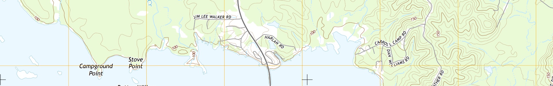
US Topo topographic maps are produced by the National Geospatial Program of the U.S. Geological Survey (USGS). The project was launched in late 2009, and the term “US Topo” refers specifically to quadrangle topographic maps published in 2009 and later. These maps are modeled on the familiar 7.5-minute quadrangle maps of the period 1947-1992, but are mass-produced from national GIS databases on a repeating cycle. US Topo maps repackage geographic information system (GIS) data in traditional map form; this benefits non-specialist map users, as well as applications that need traditional maps.
Metadata
Collection date: 2015
Coverage: Statewide
Downloadable data format: PDF
About US Topo (USGS)
Map + Downloads
Individual topo maps can be located and downloaded from the Atlas Topo 2015 map.
FTP Bulk Download
To download files in bulk, connect to the Atlas Topo Maps FTP site with software like WinSCP.
Web Services
The 2015 topo maps have not been compiled into a mosaic web service.